Partners

Partners
Profox Companies Oy
Service description:
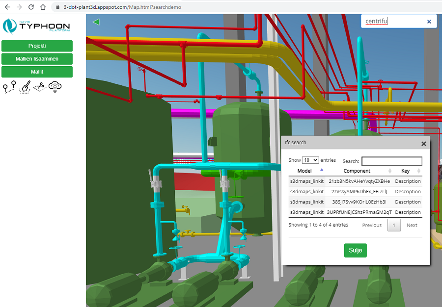
Navis Typhoon - Visual project portal and service platform for project partners, where e.g. 3D web-based site monitoring, combining extensive point cloud data with plant models and terrain data. Sova3D Oy has implemented the web part of the solution.
Company:
Profox Companies Oy has focused on providing virtual design systems and related services during investments and the life cycle.
Proveka Oy
Service description:
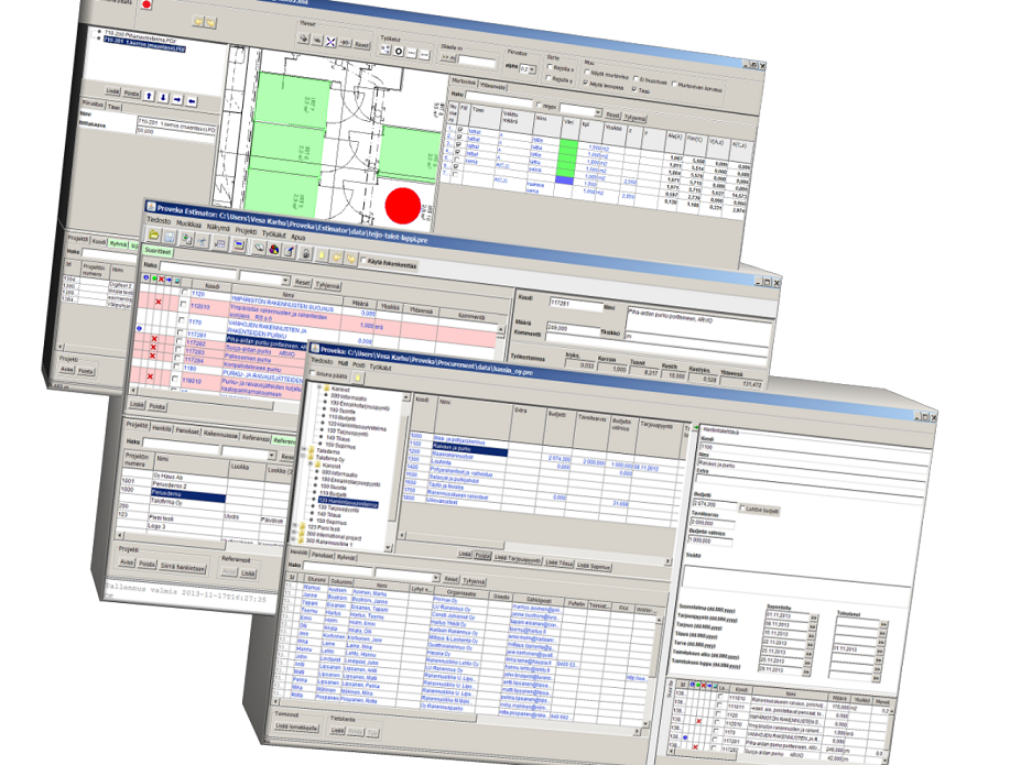
Quantity and cost calculation of a building directly from the IFC model. The design and analysis performed with Proveka's software can be published in the S3D-maps / Municipality3D / S3D-projects environment in a web browser.
Company:
Proveka Oy has an expertise operating especially in the construction industry, specializing in the development of strategic business models and IT solutions. We provide our clients consulting on the development of business strategy and business processes, as well as the development of related software. Our solutions improve our customers' competitiveness.
Terrasolid Oy
Service description:
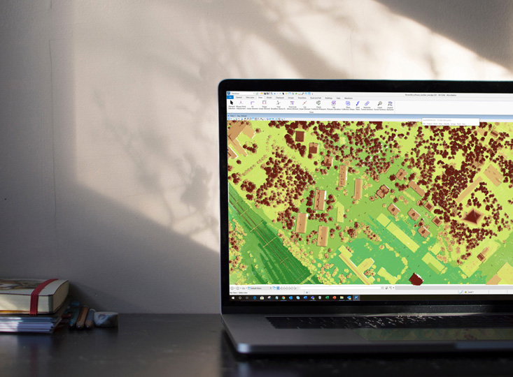
Terrasolid software is the standardized industry's software for point clouds and image processing, developed specifically for the demanding needs of professionals in the field of spatial data, design, operation and the environment.
Company:
Terrasolid’s more than 30 years of experience in the industry and more than 20 years of experience in the LiDAR business ensure that you have an access to reliable and versatile software products that can solve problems across a wide range of applications and types of data.
Meshworks Wireless Oy
Service description:
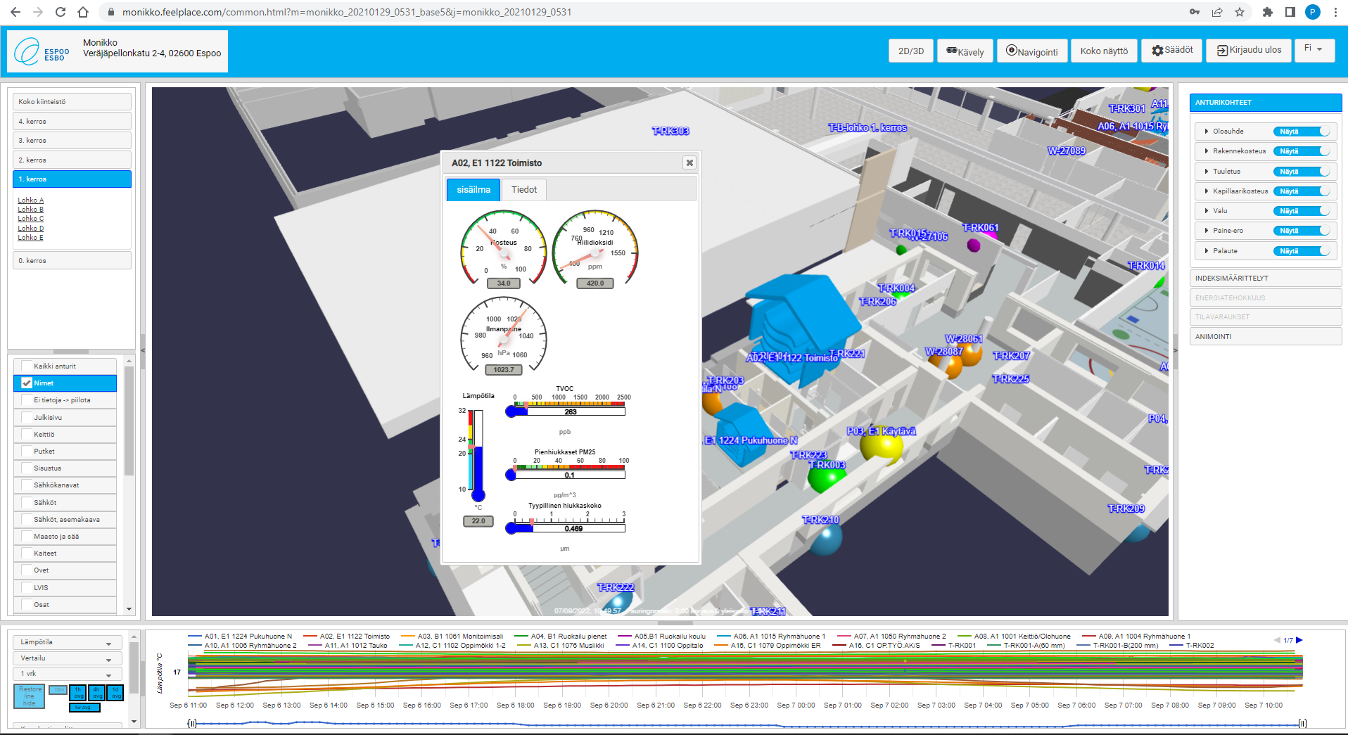
SensUrban is a browser-based visualization platform for the needs of smart cities and buildings. SensUrban projects real-life events into a virtual digital twin built from the object. Even complex data can be made visible using the platform's visualization features. Data transparency is changing the planning, monitoring and management of cities.
SensUrban offers a versatile visualization platform for all online information, such as traffic, parking, public transport services, air quality and local weather. The digital twin comprehensively improves the performance of the services provided by the city.
Company:
MeshWorks Wireless is a Finnish company founded in 2007 that produces smart IoT solutions for customers.
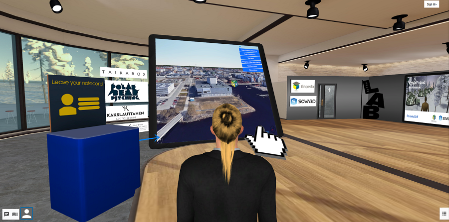
Finpeda Oy – FVS metaverse
Service description:
FVS Metaverse is a realtime 3D-environment where information is visualized using 3D-models, multimedia files and avatars.
Company:
Finpeda offers innovations in education. We evaluate, plan and implement complete learning solutions based on pedagogy, architecture and technology. Our expertise comes from the world-class Finnish education system. (Company pages: https://www.finpeda.fi/ )
Want to know more?
Send a contact request
Send us a contact request using the form below and we will get back to you as soon as possible.
Contact us
Studio of Virtual Architecture
Sova3D Oy
Y-tunnus: 2682579-9
Lönnrotinkatu 5 (2.krs),
00120 Helsinki
Finland
Petri Kokko, M.Sc (Arch)
CEO, Founder
p. 050 551 1252
