What is Kunta3D?
Information about Kunta3D
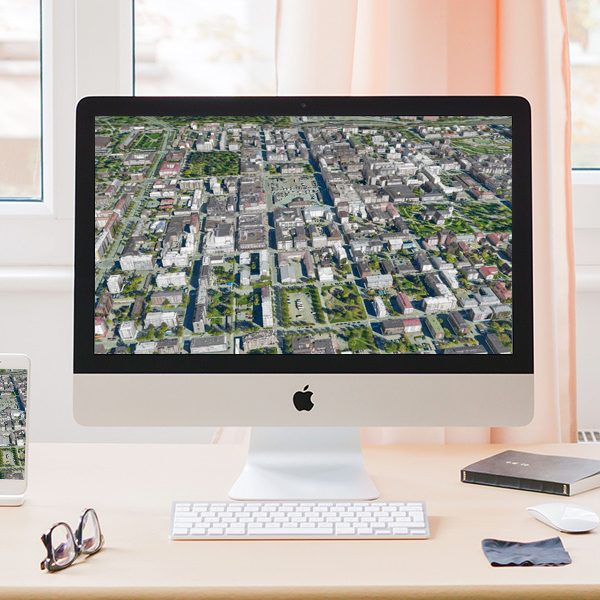
Kunta3D is a web publishing service for municipalities. The general material of the National Land Survey of Finland from all over Finland is used as background material. A more accurate 3D city model is produced from laser scanning and oblique aerial imagery with TerraScan © software for each city, which is managed by the city itself. The 3D city model serves as an interaction platform between all parties involved in the projects.
Municipalities can easily publish:
- Future city plans
- Architectural and land transfer competitions
- Construction projects
- Building Permit Projects 3D objects (BIM models)
- Infrastructure plans (roads, bridges, parks, etc.)
- The citizens themselves can propose their own plans and use the platform even as a showcase for historic buildings!
- The service includes commenting and the ability to link the service to social media services.
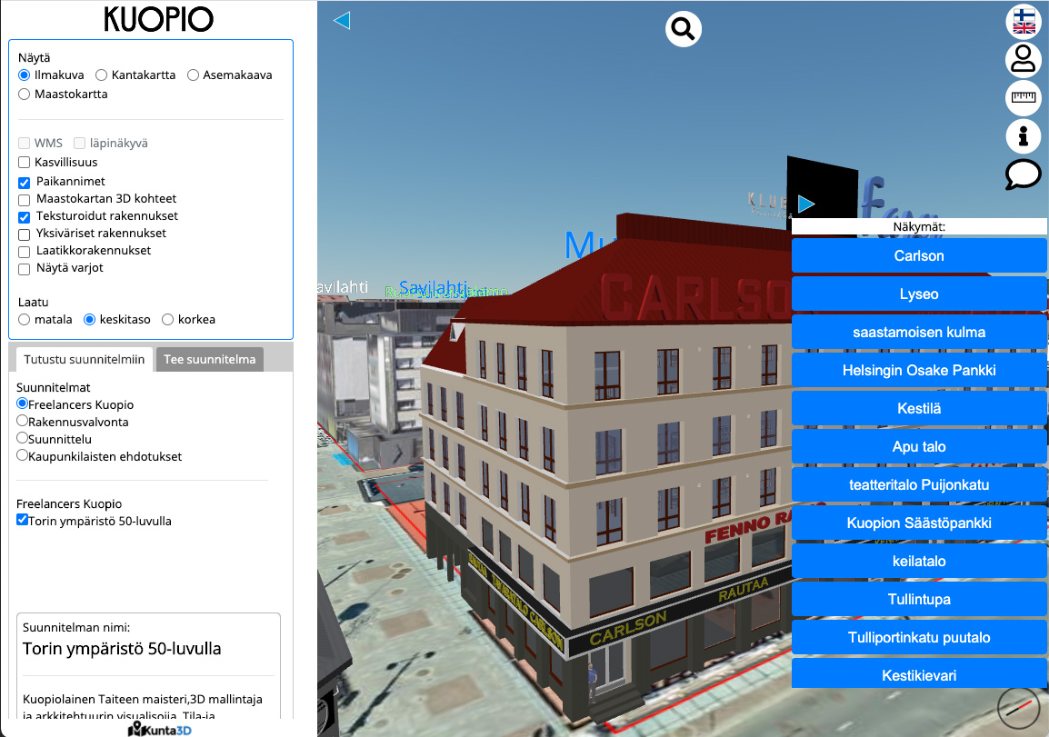
Kunta3D works in a web browser and mobile user interface. The interface has separate client, editor and admin interfaces. The service includes extensive analytics on the use of the service.
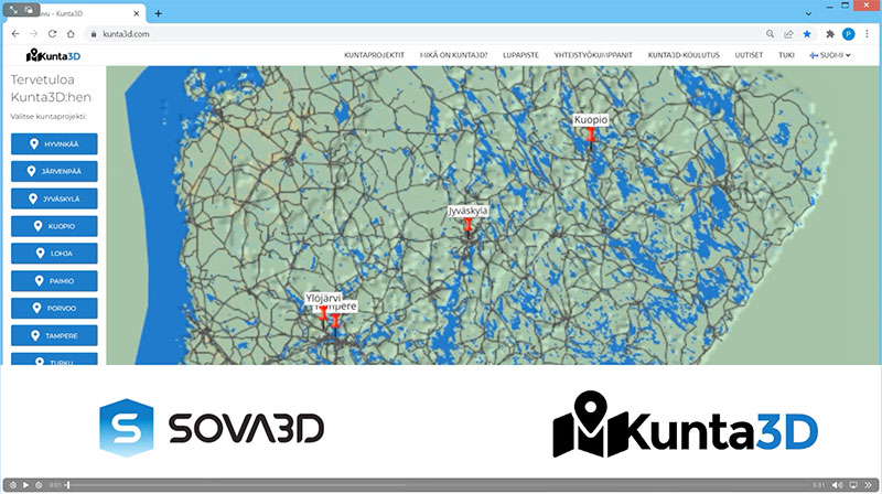
Watch the video to see how Kunta3D works.
If my municipality is not in the service
Deploying the service is usually a couple of weeks project. The processing of the data itself is usually well controlled by the municipality's surveying department or spatial data department (GIS), and one most used software by municipalities, TerraScan software, can produce the data. All services for local residents are part of the kunta3d service. Existing map services will be connected to the municipality3d operating via the WMS or WFS service.
Contact us via the link below or call Sova3D sales directly and we will put the service into operation in your municipality too!
User stories
Kuopion kaupunki / Paikkatietopalvelut
"Kunta3D-julkaisupalvelun käyttöönotto oli varsin sujuva ja nopea prosessi. Jatkuvasti käytössä oleva avoin 3D-näkymä kaupungista helpottaa monen asian esittelyä.
Yksi Kunta3D:n parhaita puolia on helppokäyttöinen ja selkeä käyttöliittymä, jonka ansiosta kaupunkisuunnittelijat pystyvät itse tuottamaan projektin alusta loppuun asti!"
Marko Ahola
Paikkatietoasiantuntija
Kuopion kaupunki / Paikkatietopalvelut
Lujatalo Oy
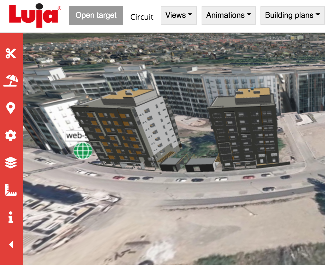
"Lujatalo Oy on tehnyt jo useamman vuoden yhteistyötä Sova 3D:n ja sen ohjelmistoalustan käytössä tietomallinnetuissa projekteissa. Sova 3D:n käyttö on mahdollistanut tietomallien ja muiden esitysmateriaalien jakamisen ja esittelyn joustavasti web-selaimessa useille projektin sidosryhmille.
Järjestelmän käyttöönotto, käytettävyys ja tuki ovat luotettavuudeltaan korkealla tasolla ja palvelu on hyvin asiakaslähtöistä. Ohjelmiston käyttöliittymä ja toiminnot ovat tehty mahdollisimman yksinkertaisiksi rakennetun ympäristön ja tietomallien tarkastelemista varten.
Julkisissa hankkeissa tällainen projektiesittely on koettu hyväksi tavaksi jakaa tietoa sen helpon saavutettavuuden ansiosta. Yksityis- ja kuluttaja-asiakkaiden sektorilla tällaisten palvelujen käyttö tulee kasvamaan tulevaisuudessa."
Matti Tauriainen
Digitaalisen rakentamisen johtaja, TkL
Lujatalo Oy
Want to know more?
Send a contact request
Send us a contact request using the form below and we will get back to you as soon as possible.
Contact us
Studio of Virtual Architecture
Sova3D Oy
Y-tunnus: 2682579-9
Lönnrotinkatu 5 (2.krs),
00120 Helsinki
Finland
Petri Kokko, M.Sc (Arch)
CEO, Founder
p. 050 551 1252
